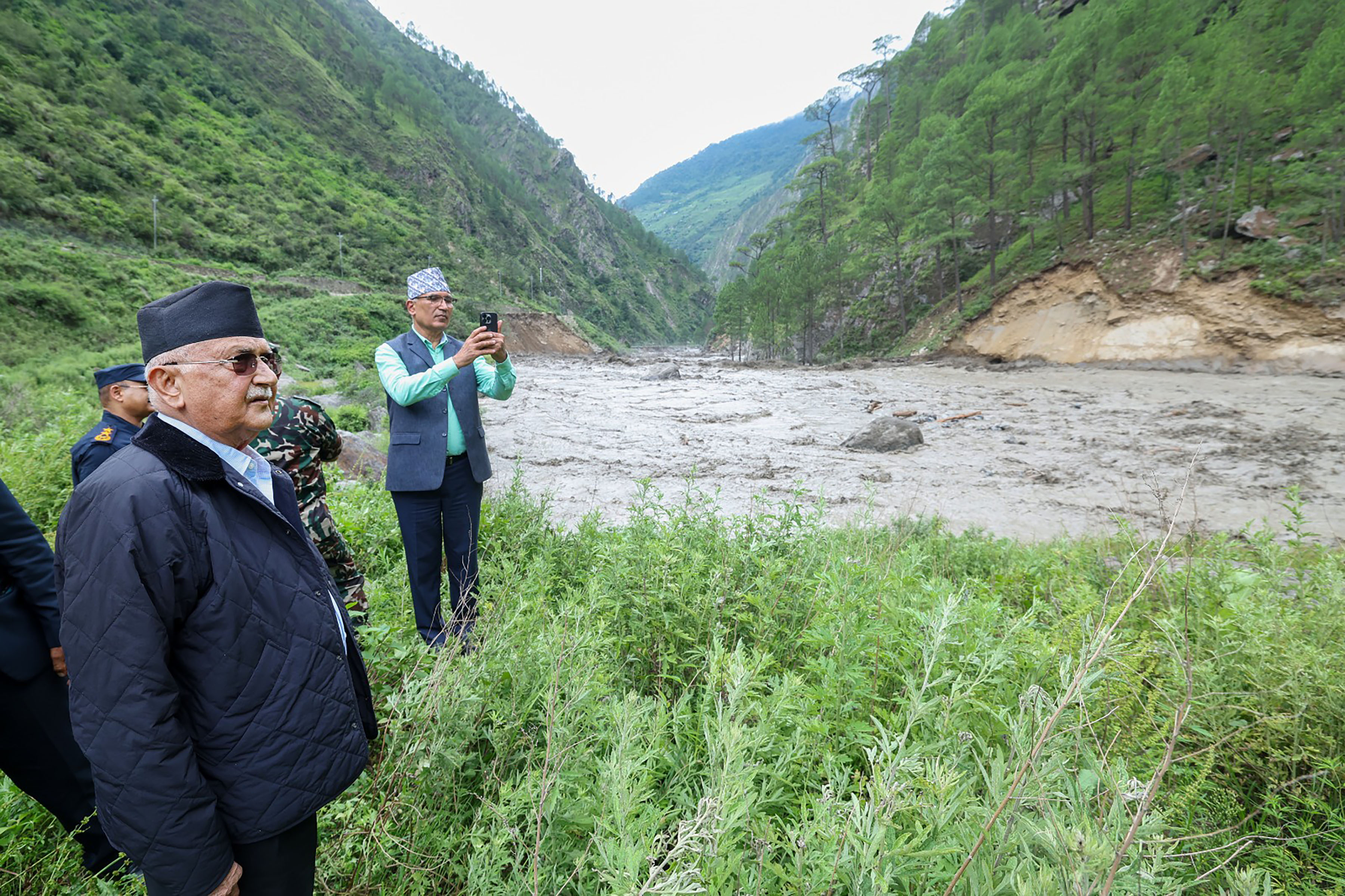
KATHMANDU, July 9: Meteorologists and hydrologists are having a tough time in determining the causes behind the massive flood in the Bhotekoshi river last Tuesday night. This difficulty has been brought on due to clouds still hovering in the sky in high altitude places in Nepal and China.
The Department of Hydrology and Meteorology said that dense cloud formation has hindered taking clear images of places surrounding Nepal and China border with the help of satellites thereby making it more difficult to assess the situations on the ground.
It may be noted that the flood occurred in Lehende river, Bhotekoshi river and Trishuli river despite no heavy rainfall in Nepal and China's territory. The weather station in Rasuwa showed that there was light rainfall in Rasuwa district between Monday and Tuesday.
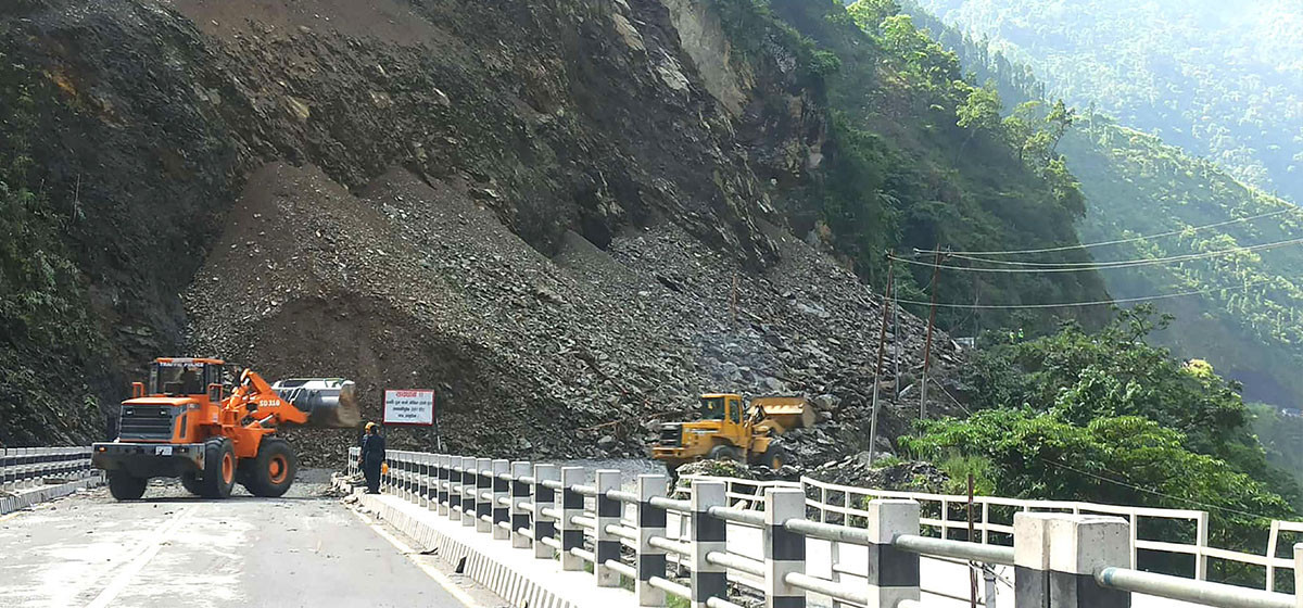
String of disasters curtail Upper Bhotekoshi's capacity

Meteorologists suspect that glacial lakes in the upper area of Rasuwa or in Chinese territory could have triggered the flood.
Hydrologist and Chief of Flood Forecasting Section of the Department, Binod Parajuli, further said that a large accumulation of snow or ice might have temporarily stopped the river's flow and later burst, suddenly overflooding the river.
"It is evident that the flood did not occur due to a heavy rainfall. We are currently conducting a study to find out the actual cause behind the flood," Parajuli mentioned.
He admitted that it was not feasible for them to visit the site and conduct research at this moment but they were trying to unravel the cause with the help of satellite data. "Due to the clouds, there is still a problem identifying the cause of the flood," he said.
Likewise, International Centre for Integrated Mountain Development (ICIMOD), also said that cloud cover has obstructed analysis of satellite images.
RSS